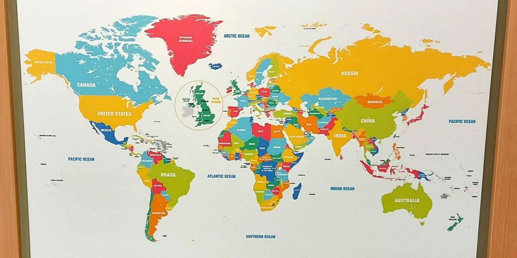
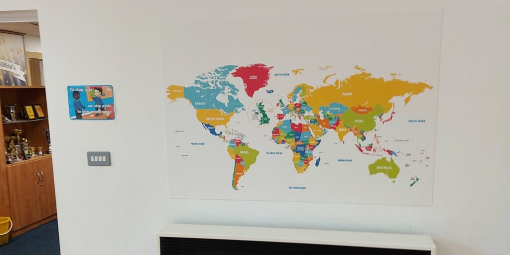
World maps are indispensable educational tools for geography classes, history lessons, cultural studies, and global awareness activities. Our custom printed world maps are designed specifically for educational settings, offering crisp detail, vibrant colours, and durable finishes perfect for classroom walls, labs, and study centres.
You can personalise maps with educational labels, colour themes, political boundaries, or topographic details to support lessons on continents, countries, climate zones, population distribution, and global events.
Curriculum Support: Perfect for geography, history, social studies, and global citizenship lessons.
High‑Definition Detail: Clear country borders, capitals, rivers, and topographic layers.
Customisable Labels & Colours: Highlight regions, climate zones, or historical changes.
Large Format Prints: Ideal for walls, whiteboards, or interactive teaching spaces.
Durable & Easy to Install: Designed to survive daily classroom use.